


Le Pic du haut Mouriare et le lac de l'Ascension

amiral13
User GUIDE

Length
17.3 km

Max alt
2774 m

Uphill gradient
1228 m
Km-Effort
34 km

Min alt
1781 m

Downhill gradient
1225 m
Boucle
Yes
Creation date :
2019-08-25 07:36:02.199
Updated on :
2022-07-13 15:43:33.61
8h20
Difficulty : Very difficult

FREE GPS app for hiking
 SityTrail
IGN / Geographical institutes
SityTrail Plus
The world is yours!
About
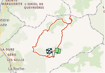
Trail Walking of 17.3 km to be discovered at Provence-Alpes-Côte d'Azur, Hautes-Alpes, La Roche-de-Rame. This trail is proposed by amiral13.
Photos


Positioning
Country:
France
Region :
Provence-Alpes-Côte d'Azur
Department/Province :
Hautes-Alpes
Municipality :
La Roche-de-Rame
Location:
Unknown
Start:(Dec)
Start:(UTM)
311973 ; 4959090 (32T) N.
Comments